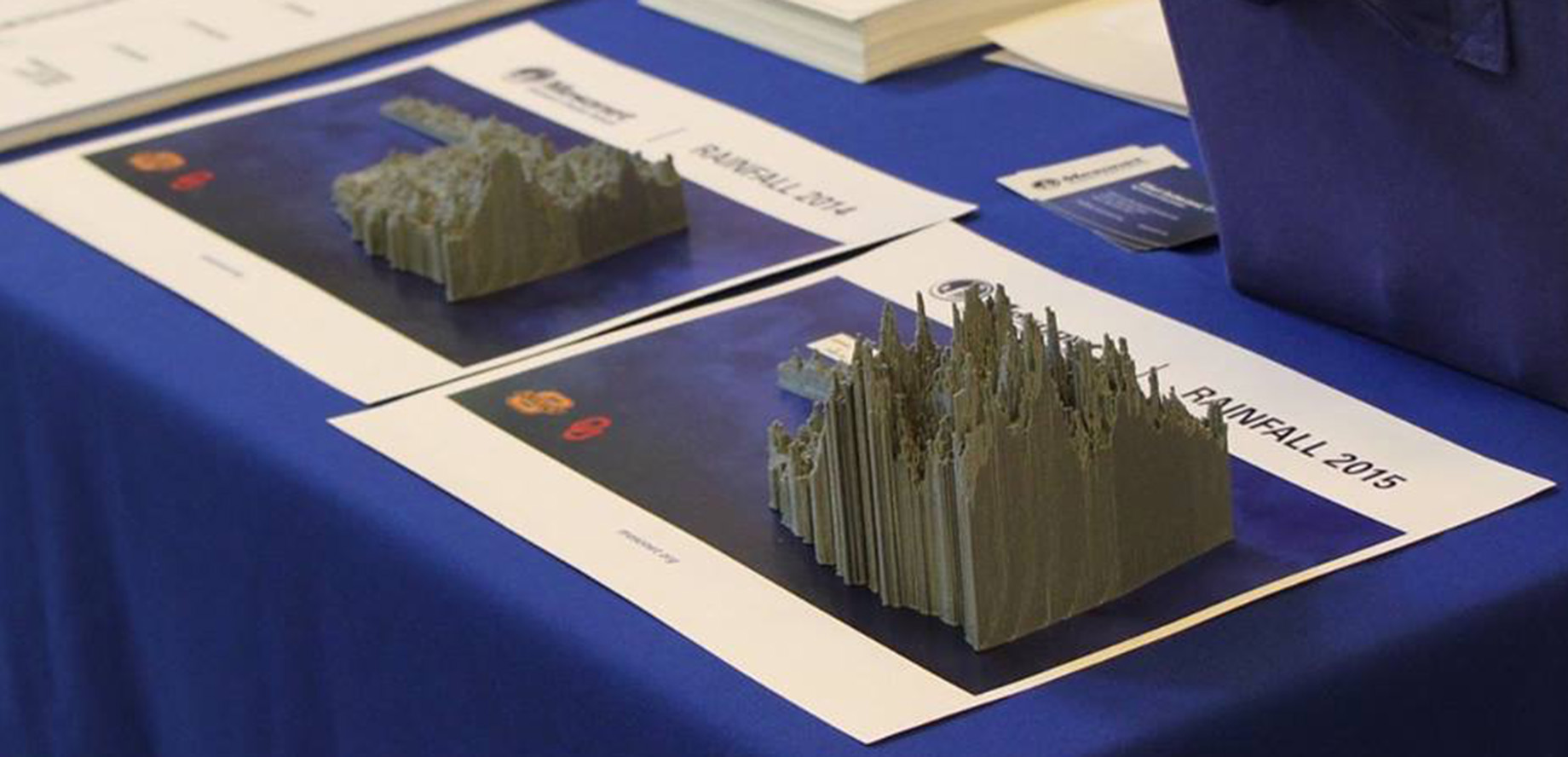
We created .stl files for use with 3D printers. We printed ours at 10% to avoid sharp peaks that could easily break off when handled often.
The files show annual rainfall amounts for the Oklahoma Mesonet sites combined with radar estimated rainfall. Similar to the 365-day Rainfall Accumulation map (except it is for a calendar year and not previous 365 days).
